Kingfisher Diaries 2: Spectacular Lake Kivu
Lake Kivu lies on the border between the Democratic Republic of the Congo and Rwanda. It is one of Great Lakes in the Albertine Rift, the western branch of the East African Rift. There are about 200 small rivers that flow into it from a relatively small catchment whilst the outflow is to the Ruzizi River, which flows southwards into Lake Tanganyika and ultimately into the mighty Congo.
Lying at 1463 m above sea level, its surface area is 2,370 km2, the average depth is 240m whilst the maximum depth is 485m and its total volume is an impressive 560 km3. Lake Kivu has a very irregular shape with a large island, Île Idjwi, the tenth largest in the world, in the southern DRC part of the lake. The maximum distance from one end of the lake to the other is 103km whilst it’s about 48km across.
Lake Kivu is unique with many features setting it apart from all others in the world.
For example, it used to flow to the north and drain into the Nile. However, around 12,000 years ago, lavas flows from the Virunga volcanoes dammed this outflow, reversing the direction of its waters and also causing the depth to increase. Then around 5,000 years ago when local volcanism and hydrothermal activities began to affect the lake and it became very stratified with different layers that hardly interact with each other.
This stable stratification is the secret to the lake’s huge resource; more than any other lake in the world, it has vast quantities of trapped methane at depths of over 200m. So there are projects near to Gisenyi and Kibuye that are beginning to extract this reserve.
The surface water temperature is 24°C. At depth, almost every other (non-frozen) lake in the world is cooler than at the surface with the usual bottom temperature being about 4 °C. However, in Lake Kivu, geothermal activity keeps the temperature in the lower layers at 26 °C – higher than at the surface.
With very steep sides, river run offs (and most pollutants from the towns around the lake) descend quickly to the depths. The surface layer therefore comprises very clean, fresh water, in which some 31 species of fish live, many of which are caught by local fishing cooperatives using their unique fishing boats. However, there are no large animals such as hippopotamus or crocodiles.
If an industrial extraction process does not remove it, the dissolved methane and carbon dioxide in the deep layers, will eventually – and very catastrophically – erupt. However, this event is still many decades away, so for now it is totally safe to enjoy the beauty and tranquillity of Lake Kivu.
In Rwanda, there are several large towns on the shores of Lake Kivu: Rubavu also known as Gisenyi) is in the north, in the shadow of the Nyiragongo Volcano (with the world’s largest lava lake in its crater) just over the border in DRC. Karongi (or Kibuye) is set in a beautiful location near numerous uninhabited islands and long peninsulas that extend deep into the lake. At the far southern end is Kamembe – where nearby protected forests still reach the lakeshore. In many of the numerous smaller communities that dot the coast, there are fascinating coffee washing stations and many colourful markets that are worth lingering for a visit.
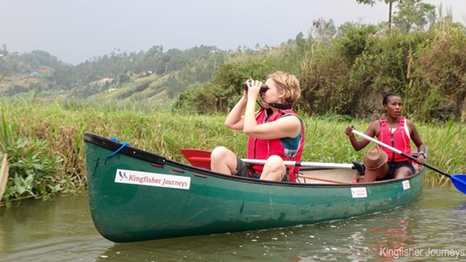
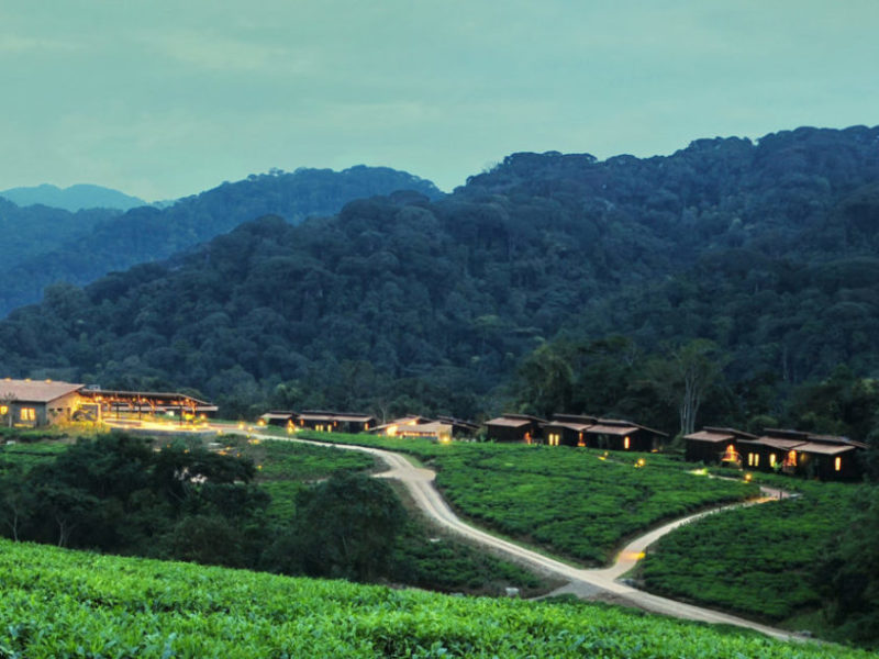
With many lodges to be found on Lake Kivu, it’s easy to find accommodation with some of the best views in Rwanda. However, did you know that you could also stay on a Houseboat called Iliza that cruises around the lake? Or for something a little more active, try the Number 1 on Trip Advisor: Go kayaking with Kingfisher Journeys. With short trips from Gisenyi and Kibuye or up to or a 4-day adventure – With professional guides and modern equipment, this is the best way to experience Lake Kivu, see its wildlife and birds and meet the communities that make Lake Kivu their home.
You can learn much more information about Lake Kivu itself from the Lake Kivu Monitoring Programme. Or for kayaking trips contact Kingfisher Journeys or ask your tour operator to include one of their trips in your itinerary.


